Students in New Mexico map dinosaur tracks with drones
Central New Mexico Community College | May 09, 2019
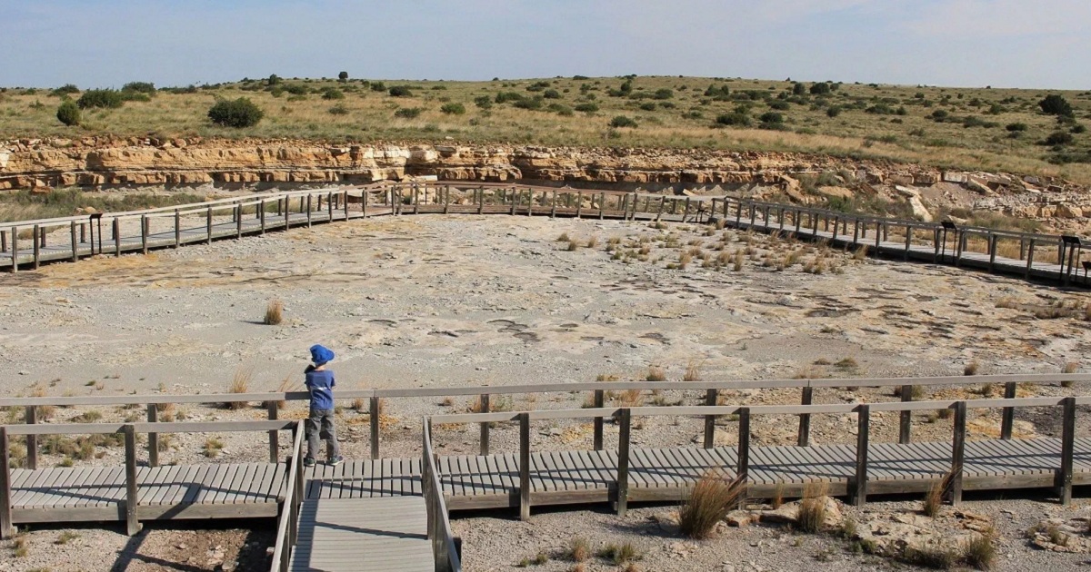
College students of New Mexico use drones to map the location of dinosaur tracks in a state park. In a recent statement, New Mexico State Parks announced it is teaming up with Central New Mexico Community College students and the New Mexico Museum of National History and Science to map the footprints of dinosaurs at Clayton Lake State Park.
Clayton Lake State Park is located in the northeast of New Mexico, about 4.5 hours away from Albuquerque and is well known for its abundance of dinosaur footprints. According to the Albuquerque Journal, the New Mexico State Parks partnered with Central New Mexico Community College students and the New Mexico Museum of National History and Science to map out the footprints and provide key information to scientists about the ancient reptiles.
Rick Watson who is one of the instructors from the central New Mexico community college says that students will be flying their drones at different altitudes to record various levels of detail when mapping out the dinosaur footprints. Once the students have finalized the drone mapping, they will place the photographs, 3-D models and maps on a website.